Login
Star users
Poll
Home
>
Australia
>
New South Wales
>
Wollongong City Council
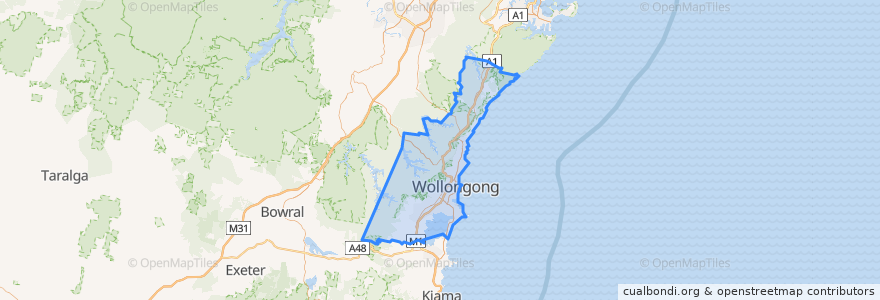
Wollongong City Council
See in interactive map
Routes of public transport
10 Wollongong to West Wollongong (Loop Service)
15 Helensburgh to Stanwell Park
15 Stanwell Park to Helensburgh
2 Stanwell Park to Wollongong
2 Wollongong to Stanwell Park
South Coast Line
South Coast Line
South Coast Line
South Coast Line
Stops
802 Lawrence Hargrave Dr
Lawrence Hargrave Dr after Fifth St
Coledale Hospital, Lawrence Hargrave Dr
Lawrence Hargrave Dr at Railway Tce
Stanwell Park 1
404 Lawrence Hargrave Dr
Lawrence Hargrave Dr opp Coalcliff Station
Fairy Meadow 2
Woonona 1
Lawrence Hargrave Dr before Otford Rd
Port Kembla North
Bulli Bowling Club, Princes Hwy
Wollongong Central, Burelli St, Stand C
Lilyvale St before Parkes St
Fairy Meadow 1
Austinmer 2
Princes Hwy opp Collaery Rd
Bulli Heritage Hotel, Princes Hwy
Dapto 1
Princes Hwy opp Guest Ave
William St at Akuna St
Kembla Grange 1
Corrimal 2
Lawrence Hargrave Dr at Fifth St
Charles Harper Park, Parkes St
Lawrence Hargrave Dr at Broadridge St
Austinmer 1
Princes Hwy after McGrath St
Lawrence Hargrave Dr opp Sharky Beach
Lawrence Hargrave Dr at Lachlan St
Points of interest
Wollongong City Council