Anmelden
Star-Benutzer
Umfrage
Startseite
>
Australien
>
Neusüdwales
>
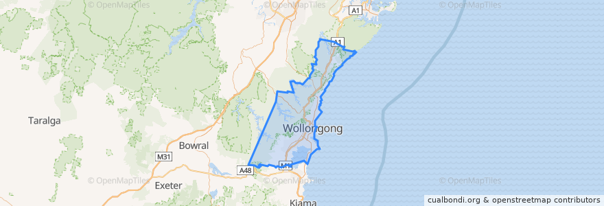
Wollongong City Council
Wollongong City Council
Siehe in der interaktiven Karte
Routen des öffentlichen Verkehrs
10 Wollongong to West Wollongong (Loop Service)
15 Helensburgh to Stanwell Park
15 Stanwell Park to Helensburgh
2 Stanwell Park to Wollongong
2 Wollongong to Stanwell Park
South Coast Line
South Coast Line
South Coast Line
South Coast Line
Haltestellen
Woonona 2
Parsons St after Robsons Rd
Armstrong St before Cochrane St
Princes Hwy opp Albert St
Princes Hwy opp Hope St
Lawrence Hargrave Dr at Boyce Ave
Princes Hwy opp Mount Ousley Rd
Coledale Hospital, Lawrence Hargrave Dr
Rose St at Robsons Rd
Princes Hwy opp Bulli Bowling Club
Lawrence Hargrave Dr opp Coalcliff Station
Fairy Meadow 2
404 Lawrence Hargrave Dr
Towradgi 2
Lawrence Hargrave Dr opp Sharky Beach
George St at Lawrence Hargrave Dr
Princes Hwy at Elliotts Rd
Lysaghts
Stonehaven Rd at Annesley Ave
Walker St before Lilyvale St
Corrimal 2
Princes Hwy at Hospital Rd
Princes Hwy opp Bourke St
Lawrence Hargrave Dr at Seventh St
Lawrence Hargrave Dr after Station St
Thirroul Plaza, Lawrence Hargrave Dr
Princes Hwy before Hopetoun St
Helensburgh, Platform 2
Coledale 2
Corrimal 1
Sehenswürdigkeiten
Wollongong City Council