Login
Star users
Poll
Home
>
Australia
>
New South Wales
>
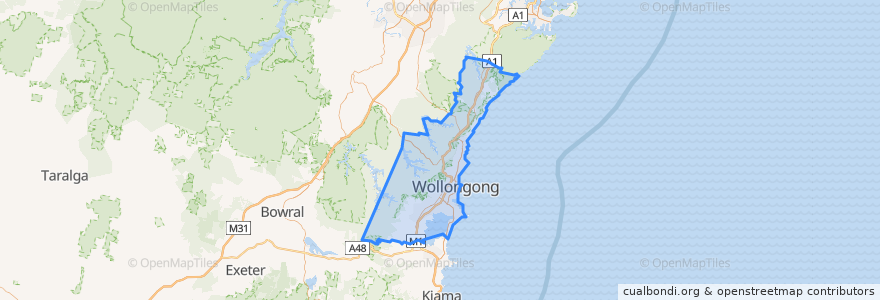
Wollongong City Council
Wollongong City Council
See in interactive map
Routes of public transport
10 Wollongong to West Wollongong (Loop Service)
15 Helensburgh to Stanwell Park
15 Stanwell Park to Helensburgh
2 Stanwell Park to Wollongong
2 Wollongong to Stanwell Park
South Coast Line
South Coast Line
South Coast Line
South Coast Line
Stops
Lawrence Hargrave Dr at Kennedy Rd
Lawrence Hargrave Dr at Headland Ave
Wollongong Central, Burelli St, Stand A
Lawrence Hargrave Dr opp Wombarra Bowling Club
Lawrence Hargrave Dr opp Coledale Public School
Cochrane St before Robsons Rd
Lawrence Hargrave Dr at Station St
Port Kembla 1
Parkes St opp Cowper St
Lawrence Hargrave Dr after Mountain Rd
Corrimal Memorial Park, Princes Hwy
Lawrence Hargrave Dr opp Hewitts Ave
Lawrence Hargrave Dr opp Lachlan St
Walker St opp Merrigong Pl
Crawford Ave opp Lucinda St
Princes Hwy opp Rixons Pass Rd
Princes Hwy after Smith St
Wollongong Central, Keira St, Stand F
Tabratong Rd at Bulgo Rd
Stanwell Park 2
Princes Hwy opp Albert St
Princes Hwy after Bellambi Lane
Stonehaven Rd at Annesley Ave
Lilyvale St before Parkes St
North Wollongong 1
Princes Hwy after Railway St
Bulgo Rd at Koornong Rd
Princes Hwy opp Woonona-Bulli RSL Memorial Club
Wollongong 2
Lawrence Hargrave Dr at The Esplanade
Points of interest
Wollongong City Council