Log masuk
Pengguna bintang
Undian
Laman utama
>
Australia
>
New South Wales
>
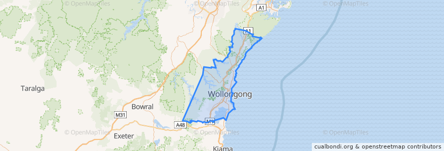
Wollongong City Council
Wollongong City Council
Lihat di peta interaktif
Laluan pengangkutan awam
10 Wollongong to West Wollongong (Loop Service)
15 Helensburgh to Stanwell Park
15 Stanwell Park to Helensburgh
2 Stanwell Park to Wollongong
2 Wollongong to Stanwell Park
South Coast Line
South Coast Line
South Coast Line
South Coast Line
Perhentian
Princes Hwy after Lysaght St
North Wollongong 2
Princes Hwy at Rixons Pass Rd
Lysaghts
Lilyvale St before Parkes St
Robsons Rd at Parsons St
Princes Hwy opp Hope St
Lawrence Hargrave Dr at Boyce Ave
Princes Hwy at Thurston Cres
St Brigid's Primary School, Gipps Rd
Lawrence Hargrave Dr at Seventh St
Bulli 2
Austinmer 1
Frew Memorial Park, Lawrence Hargrave Dr
Tabratong Rd at Bulgo Rd
Princes Hwy at Elliotts Rd
Princes Hwy at Gray St
Princes Hwy opp Elliotts Rd
Gipps Rd opp Wiseman Park
Princes Hwy before Florence St
Cochrane St before Robsons Rd
Helensburgh, Platform 2
Weerona College, Throsby Dr
Princes Hwy after Gray St
Lawrence Hargrave Dr at Cochrane Rd
Sharky Beach, Lawrence Hargrave Dr
Flinders St before Gipps St
Princes Hwy opp Popes Rd
Foley St opp Wiseman Park Bowling Club
Princes Hwy opp Achilles Ave
Tempat menarik
Wollongong City Council