Login
Star users
Poll
Home
>
Sri Lanka
>
Central Province
>
Kandy District
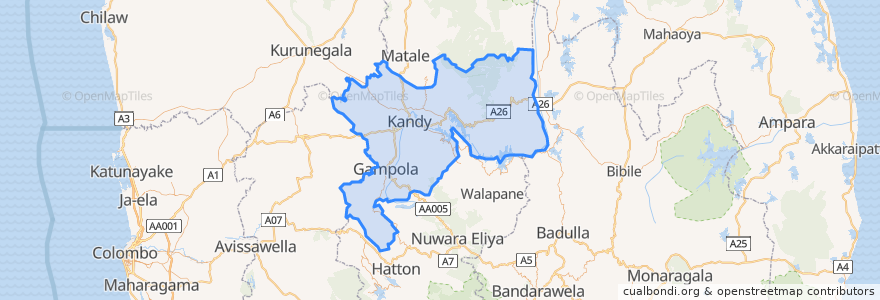
Kandy District
See in interactive map
Routes of public transport
Colombo - Bibila
Colombo - Walapane
Kandy - Badulla
Kandy - Colombo
Kandy - Dehiattakandiya
Kandy - Manaungamuwa
Kandy - Nuwara Eliya
Stops
80.6311628, 7.2911856
Points of interest
Mahamaya Girls College
Sri Dalada Maligawa Police Station
Peoples Bank
The Pub
KCC Multiplex
Kandyan Art Association
Balaji Dosai
Café Banana Chill
Hillwood College Play School/Day care
Office of Assistant High Commissioner of India
The Garden Cafe
Hillwood College
Kandy Nursing Home
Torrington Bus Station, Bus to botanic gardens
BOC
Natural Coffee
HNB
Tourist Police
Domino's Pizza
KFC
Dental Health Center - Dharmaraja Colleg
Pranobaa Homestay
Malwathu Maha Viharaya
Route 66
Burger King
Dhawalagiri
BOC
Kandy District
Senani Restaurant
Kandy Nursing Home