Accesso
Utenti preferiti
Sondaggio
Homepage
>
Sri Lanka
>
Provincia Centrale
>
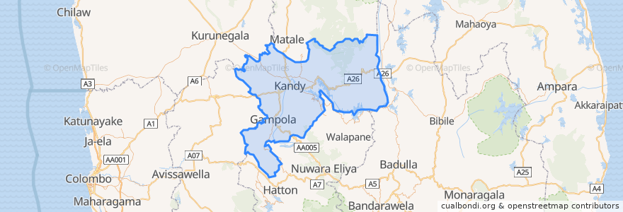
Kandy District
Kandy District
Visualizza nella mappa interattiva
Percorsi di trasporto pubblico
Colombo - Bibila
Colombo - Walapane
Kandy - Badulla
Kandy - Colombo
Kandy - Dehiattakandiya
Kandy - Manaungamuwa
Kandy - Nuwara Eliya
Fermate
80.6311628, 7.2911856
Punti di interesse
Krishnarathna Car Service Station
The Garden Cafe
BOC
Balaji Dosai
Soul Food
Mango Garden
KFC
Provincia Centrale
Torrington Bus Station, Bus to botanic gardens
Kandyan Art Association
Durdans Medical Laboratory
Office of Assistant High Commissioner of India
Kandy Muslim Hotel
Kandy Fire Brigade
Pizza Hut
Café Banana Chill
Sinhala National Hotel
Kandy Nursing Home
Coffee Pot
DFCC Vardhana
KCC Car Park South Entrance
Victory Hotel Bar & Restaurant
Senani Restaurant
Queen's Pub
Citruscafe Inn
Devon
Peoples Bank
Torrington Shopping Complex
Burger King
Malay Military Mosque