Log masuk
Pengguna bintang
Undian
Laman utama
>
Sri Lanka
>
Central Province
>
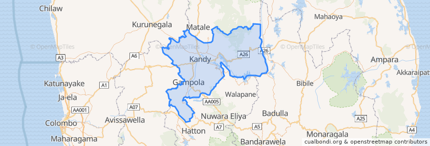
Kandy District
Kandy District
Lihat di peta interaktif
Laluan pengangkutan awam
Colombo - Bibila
Colombo - Walapane
Kandy - Badulla
Kandy - Colombo
Kandy - Dehiattakandiya
Kandy - Manaungamuwa
Kandy - Nuwara Eliya
Perhentian
80.6311628, 7.2911856
Tempat menarik
Victory Hotel Bar & Restaurant
Office of Assistant High Commissioner of India
Central Province
Route 66
D.S Senanayake College
Sampath Bank Kandy
Nations Trust Bank
The Pub
Mahamaya Girls Primary School
Malwathu Maha Viharaya
Baskin-Robbins
Sangaraja Temple
Hela Bojun Hala
Malay Military Mosque
Coffee Pot
REX Pharmacy
NSB
The Garden Cafe
Krishnarathna Car Service Station
Hillwood College
Soul Food
Dhawalagiri
D.S Senanayake Memorial Library
KCC Multiplex
La Mulberry
Peoples Bank
Citruscafe Inn;Lake side Adventist
Lanka
BOC ATM
Pranobaa Homestay