Login
Star users
Poll
Home
>
United States
>
California
>
San Diego County
>
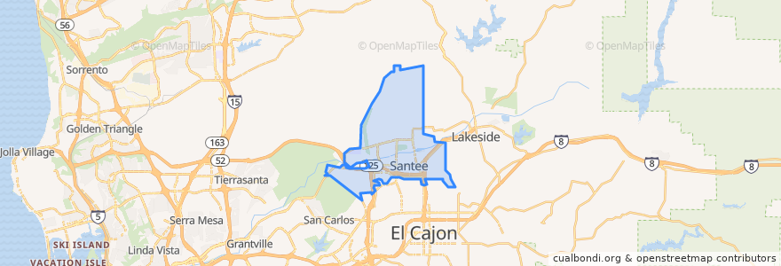
Santee
Santee
See in interactive map
Routes of public transport
MTS 832
MTS 834
Sycuan Green Line: 12th & Imperial Transit Center => Santee Town Center
Sycuan Green Line: Santee Town Center => 12th & Imperial Transit Center
Stops
Santee Town Center
Santee Town Center
Points of interest
Carl's Jr.
Santee Post Office
Anny´s fine burger
Santee
Costco Gasoline
Giles Education Center
Club Iguana
Olive Lane Church of God
Santee City Hall
Pho Ca Dao & Grill
Subway
Cazadores
San Diego County Credit Union
Georges Saloon
McDonald's
Takka Sushi Bar & Grill
Pathway Community Church
Kaffee Meister - Santee Coffeehouse
Jamba Juice
Qwik Korner
Las Colinas Womens Detention Center
Einstein Bros. Bagels
USA Gasoline
Chipotle
El Ranchito
Edgemoor
Dairy Queen
Wendy's
Cajon Park Satellite School
Santee School District Education Center