Conecte-se
Usuários estrela
Pesquisa
Início
>
Estados Unidos da América
>
Califórnia
>
San Diego County
>
Santee
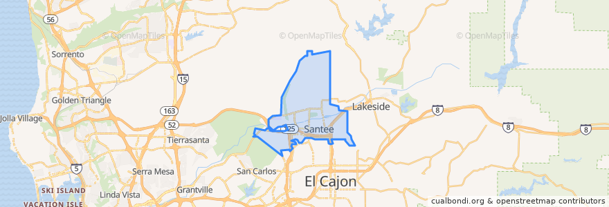
Santee
Veja no mapa interativo
Rotas de transporte público
MTS 832
MTS 834
Sycuan Green Line: 12th & Imperial Transit Center => Santee Town Center
Sycuan Green Line: Santee Town Center => 12th & Imperial Transit Center
Paradas
Santee Town Center
Santee Town Center
Pontos de interesse
San Diego County Credit Union
El Ranchito
Santee Post Office
Santee
Papa John's
Takka Sushi Bar & Grill
Santee Branch San Diego County Library
Valley Christian Center
Chipotle
Daphne's
Santee United Methodist Church
Santee School District Education Center
USA Gasoline
Qwik Korner
Edgemoor
Santee City Hall
Pho Ca Dao & Grill
Wendy's
Cajon Park Satellite School
Domino's Pizza
Kaffee Meister - Santee Coffeehouse
McDonald's
Santee Sports Bar
Anny´s fine burger
Las Colinas Womens Detention Center
Carl's Jr.
Cazadores
Jamba Juice
Club Iguana
Giles Education Center