Accesso
Utenti preferiti
Sondaggio
Homepage
>
Stati Uniti d'America
>
California
>
San Diego County
>
Santee
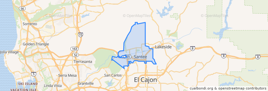
Santee
Visualizza nella mappa interattiva
Percorsi di trasporto pubblico
MTS 832
MTS 834
Sycuan Green Line: 12th & Imperial Transit Center => Santee Town Center
Sycuan Green Line: Santee Town Center => 12th & Imperial Transit Center
Fermate
Santee Town Center
Santee Town Center
Punti di interesse
Subway
Edgemoor
Santee Post Office
Takka Sushi Bar & Grill
Santee Sports Bar
Pho Ca Dao & Grill
El Ranchito
Qwik Korner
Oggi's
Dairy Queen
Olive Lane Church of God
Go Gasoline
California Coast Credit Union
USA Gasoline
Wendy's
Willowgrove Community Church
Mary's Donuts
Panda Express
Santee United Methodist Church
Papa John's
Giles Education Center
Chipotle
Sonrise Community Church
Cazadores
Santee City Hall
Las Colinas Womens Detention Center
Club Iguana
Einstein Bros. Bagels
Anny´s fine burger
Santee