Login
Star users
Poll
Home
>
United States
>
California
>
Kern County
>
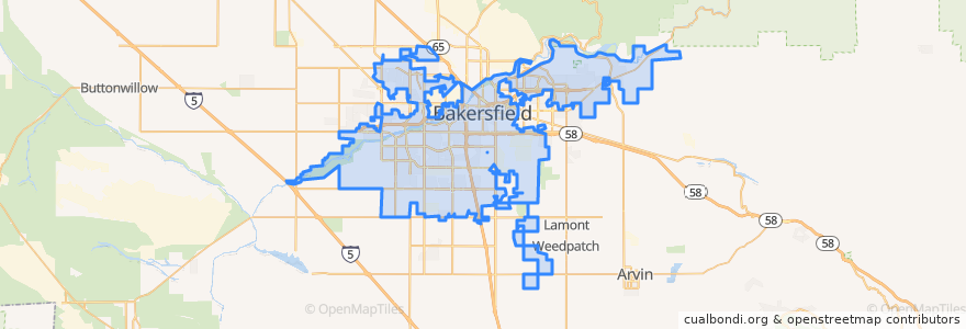
Bakersfield
Bakersfield
See in interactive map
Routes of public transport
Amtrak San Joaquins: Bakersfield => Oakland
Amtrak San Joaquins: Bakersfield => Sacramento
Amtrak San Joaquins: Oakland => Bakersfield
Amtrak San Joaquins: Sacramento => Bakersfield
Flixbus 2006: Los Angeles=> Sacramento
Flixbus 2006: Sacramento => Los Angeles
Flixbus N2006: Los Angeles => Reno
Flixbus N2006: Reno => Los Angeles
Flixbus N2008: Las Vegas => San Francisco
Flixbus N2008: San Francisco => Las Vegas
Stops
L
Bakersfield
FlixBus Bakersfield Valley Plaza
FlixBus Bakersfield Valley Plaza
Points of interest
Harvest Foursquare Church
Panda Express
Trinity Temple Church of God in Christ
Starbucks
Bakersfield City Hall
Beale Memorial Branch Kern County Library
Starbucks Drive Through
Lamina
Kern County Hall of Records Library
Shell
Shrine of Our Lady of Guadalupe, Co-Patroness of the Unborn
Arco
Cain Memorial African Methodist Episcopal Church
Millennium Dental Center
Holloway-Gonzale Branch Kern County Library
Evangel Assembly of God Church
Fire Station Number 6
Fire Station Number 1
Liberty Christian Center
Grace Lutheran Church
First Congregational Church of Bakersfield
Mercy Hospital Medical Library
Nuestro México
Mobil
Bakersfield High School
20th & D Book Pantry
Bakersfield
Saint John Baptist Church
Phoenix Learning Center
Bakersfield City Hall