وارد شدن
کاربران ستاره
نظرسنجی
شروع
>
ایالات متحده آمریکا
>
کالیفرنیا
>
Kern County
>
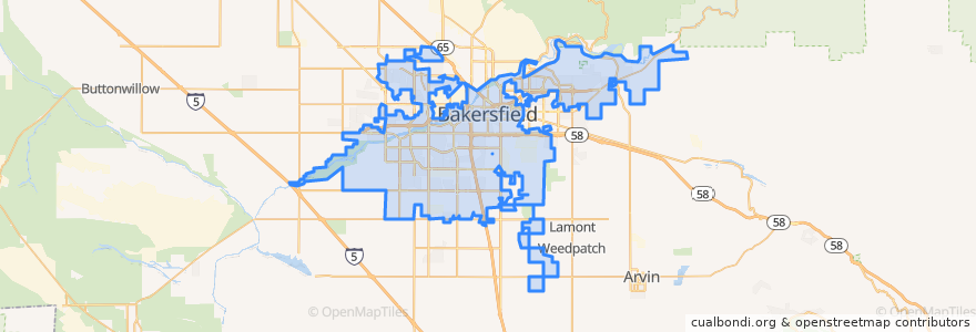
Bakersfield
Bakersfield
در نقشه تعاملی مشاهده کنید
مسیرهای حمل و نقل عمومی
Amtrak San Joaquins: Bakersfield => Oakland
Amtrak San Joaquins: Bakersfield => Sacramento
Amtrak San Joaquins: Oakland => Bakersfield
Amtrak San Joaquins: Sacramento => Bakersfield
Flixbus 2006: Los Angeles=> Sacramento
Flixbus 2006: Sacramento => Los Angeles
Flixbus N2006: Los Angeles => Reno
Flixbus N2006: Reno => Los Angeles
Flixbus N2008: Las Vegas => San Francisco
Flixbus N2008: San Francisco => Las Vegas
ایستگاه
FlixBus Bakersfield Valley Plaza
L
Bakersfield
FlixBus Bakersfield Valley Plaza
نقاط مورد علاقه
Mobil
Subway
Shell
Harvest Foursquare Church
Chevron
Starbucks Drive Through
Mercy Hospital Medical Library
Bakersfield Civic Auditorium
Fire Station Number 6
STOCKDALE Road Park abd Ride
Arco
Bakersfield Adult School
Bakersfield City Hall
Bakersfield
Bakersfield High School
Fire Station Number 1
Cain Memorial African Methodist Episcopal Church
Arco
Unity Center of Bakersfield
Bakersfield
Trinity Temple Church of God in Christ
Millennium Dental Center
Mobil
Beale Memorial Branch Kern County Library
Lamina
Saint Pauls Episcopal Church
Grace Lutheran Church
Saint John Baptist Church
Holloway-Gonzale Branch Kern County Library
20th & D Book Pantry