تسجيل الدخول
مستخدمي ستار
تصويت
الصفحة الرئيسية
>
الولايات المتّحدة الأمريكيّة
>
كاليفورنيا
>
Kern County
>
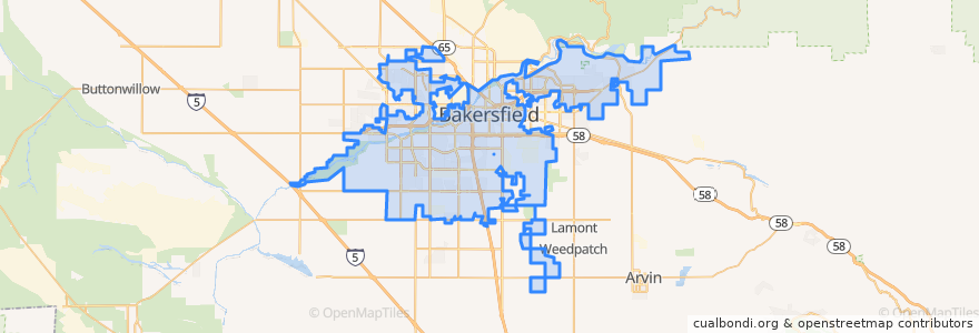
Bakersfield
Bakersfield
انظر في الخريطة التفاعلية
طرق النقل العام
Amtrak San Joaquins: Bakersfield => Oakland
Amtrak San Joaquins: Bakersfield => Sacramento
Amtrak San Joaquins: Oakland => Bakersfield
Amtrak San Joaquins: Sacramento => Bakersfield
Flixbus 2006: Los Angeles=> Sacramento
Flixbus 2006: Sacramento => Los Angeles
Flixbus N2006: Los Angeles => Reno
Flixbus N2006: Reno => Los Angeles
Flixbus N2008: Las Vegas => San Francisco
Flixbus N2008: San Francisco => Las Vegas
موقف
FlixBus Bakersfield Valley Plaza
Bakersfield
FlixBus Bakersfield Valley Plaza
L
مجالات الاهتمام
Mobil
Shrine of Our Lady of Guadalupe, Co-Patroness of the Unborn
Shell
Bakersfield High School
Phoenix Learning Center
First Church of Christ Scientist
Millennium Dental Center
Kern County Law Library
Saint John Baptist Church
Sbarro
Unity Center of Bakersfield
Nuestro México
Arco
Liberty Christian Center
Trinity Temple Church of God in Christ
Kern County Hall of Records Library
Mercy Hospital Medical Library
Arco
Bakersfield City Hall
First Baptist Church
Bakersfield City Hall
Grace Lutheran Church
Subway
Cain Memorial African Methodist Episcopal Church
Bakersfield
Chevron
Harvest Foursquare Church
Bakersfield
Shell
Saint Peters Missionary Baptist Church