Ouverture de session
Utilisateurs étoile
Sondage
Accueil
>
États-Unis d'Amérique
>
Californie
>
Kern County
>
Bakersfield
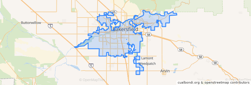
Bakersfield
Voir sur la carte interactive
Itinéraires des transports publics
Amtrak San Joaquins: Bakersfield => Oakland
Amtrak San Joaquins: Bakersfield => Sacramento
Amtrak San Joaquins: Oakland => Bakersfield
Amtrak San Joaquins: Sacramento => Bakersfield
Flixbus 2006: Los Angeles=> Sacramento
Flixbus 2006: Sacramento => Los Angeles
Flixbus N2006: Los Angeles => Reno
Flixbus N2006: Reno => Los Angeles
Flixbus N2008: Las Vegas => San Francisco
Flixbus N2008: San Francisco => Las Vegas
Arrêts
FlixBus Bakersfield Valley Plaza
L
Bakersfield
FlixBus Bakersfield Valley Plaza
Points d'interêts
Lamina
Mobil
Chevron
Bakersfield
Mobil
Liberty Christian Center
Panda Express
Bakersfield Adult School
Unity Center of Bakersfield
Mercy Hospital Medical Library
Kern County Law Library
KFC
Shrine of Our Lady of Guadalupe, Co-Patroness of the Unborn
Bakersfield Civic Auditorium
Starbucks
Cain Memorial African Methodist Episcopal Church
Arco
Grace Lutheran Church
Saint Peters Missionary Baptist Church
Holloway-Gonzale Branch Kern County Library
Nuestro México
Del Taco
Sbarro
Saint John Baptist Church
Subway
Starbucks Drive Through
Saint Pauls Episcopal Church
Fire Station Number 1
Bakersfield City Hall
Shell