Login
Star users
Poll
Home
>
United States
>
Florida
>
Broward County
>
Pompano Beach
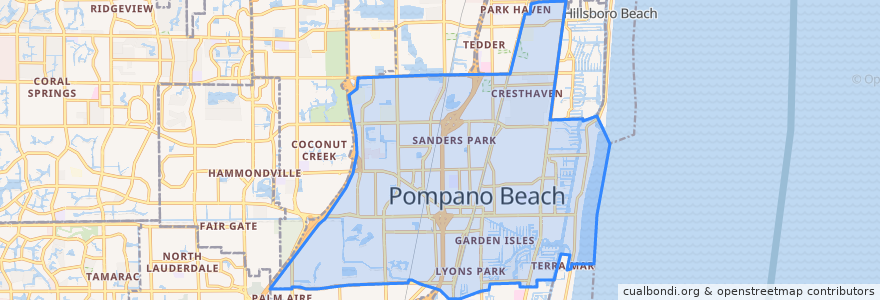
Pompano Beach
See in interactive map
Routes of public transport
BCT 10
BCT 14
BCT 34
BCT 42
BCT 83
Flixbus 2410: Gainesville => Miami
Flixbus 2410: Miami => Gainesville
Flixbus 2411: Miami => Orlando
Flixbus 2411: Orlando => Miami
Tri-Rail: Mangonia Park => Miami Airport
Tri-Rail: Miami Airport => Mangonia Park
Stops
-80.12649160000001, 26.233468400000003
-80.12619450000001, 26.2340464
Pompano Beach
Pompano Beach
Points of interest
Macedonia Baptist Church
Florida Ocean Sciences Institute
Saint Elizabeths School
North Pompano Baptist Preschool
Trinity Church
Cypress Run Alternative Center
26° Brewing Company
Wendy's
Pompano Beach
John Knox Village Health Center of Pompano Beach
Broward Children's Center
Pompano Beach Post Office
Pompano Beach Fire Prevention
Stevens Animal Hospital
Burger King
Taco Bell
CVS Pharmacy
Enterprise
Mobil
Broward County Law Library
BurgerFi
Coleman School
Bank of America
First Christian Church Day School
Lighthouse Point Police Department
BankUnited
Chevron
Broward Children's Center
First Baptist Preschool
Chinese Kitchen