Log masuk
Pengguna bintang
Undian
Laman utama
>
Amerika Syarikat
>
Florida
>
Broward County
>
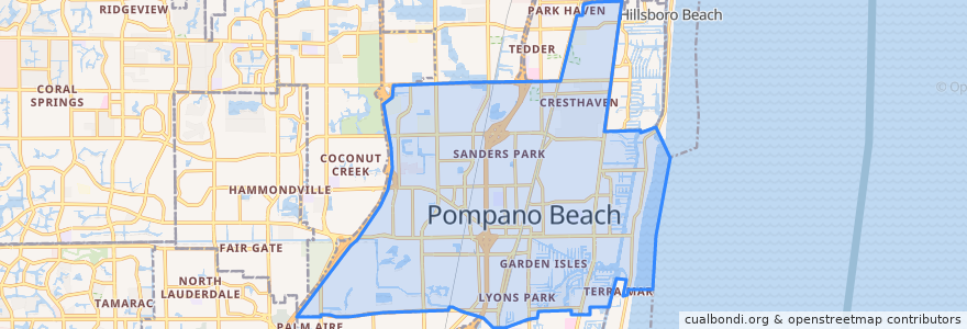
Pompano Beach
Pompano Beach
Lihat di peta interaktif
Laluan pengangkutan awam
BCT 10
BCT 14
BCT 34
BCT 42
BCT 83
Flixbus 2410: Gainesville => Miami
Flixbus 2410: Miami => Gainesville
Flixbus 2411: Miami => Orlando
Flixbus 2411: Orlando => Miami
Tri-Rail: Mangonia Park => Miami Airport
Tri-Rail: Miami Airport => Mangonia Park
Perhentian
Pompano Beach
-80.12619450000001, 26.2340464
-80.12649160000001, 26.233468400000003
Pompano Beach
Tempat menarik
5th Element Indian restaurant
North Broward Day School
Pompano Beach Branch Library
Calvary Church
New Covenant Missionary Baptist Church
Pompano Beach Post Office
Florida Ocean Sciences Institute
Saint Philips Episcopal Church
Walgreens
Broward County Law Library
Dave Thomas Education Center
Bank of America
San Isidro Church
Lighthouse Point Library
Subway
Saint Elizabeths School
McDonald's
Forest Lawn Memorial Park of Broward County
Dunkin' Donuts
Mobil
Hope Lutheran
McDonald's
Chick-fil-A
Saint James Missionary Baptist Church
North Pompano Baptist Church
Bethel African Methodist Episcopal Church
Saint Colemans Catholic Church
Childrens Workshop
Apostolic Lighthouse
Gold Club