Accesso
Utenti preferiti
Sondaggio
Homepage
>
Stati Uniti d'America
>
Florida
>
Broward County
>
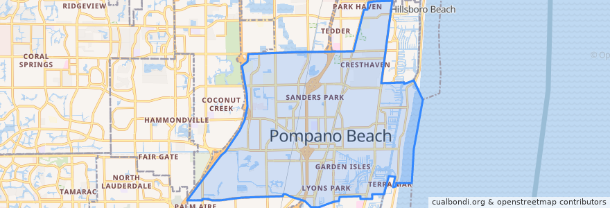
Pompano Beach
Pompano Beach
Visualizza nella mappa interattiva
Percorsi di trasporto pubblico
BCT 10
BCT 14
BCT 34
BCT 42
BCT 83
Flixbus 2410: Gainesville => Miami
Flixbus 2410: Miami => Gainesville
Flixbus 2411: Miami => Orlando
Flixbus 2411: Orlando => Miami
Tri-Rail: Mangonia Park => Miami Airport
Tri-Rail: Miami Airport => Mangonia Park
Fermate
-80.12619450000001, 26.2340464
Pompano Beach
Pompano Beach
-80.12649160000001, 26.233468400000003
Punti di interesse
Burger King
Tropical Reef Post Office
Cypress Run Alternative Center
Pompano Beach Police Department - Community Services
CVS Pharmacy
Macedonia Baptist Church
Saint James Missionary Baptist Church
Red Fox Diner
Saint Philips Episcopal Church
PDQ
Florida Ocean Sciences Institute
John Knox Village Health Center of Pompano Beach
Pompano Beach
Cypress Post Office
Dunkin' Donuts
McDonald's
Lighthouse Point Police Department
Broward Children's Center
Subway
Pompano Beach Fire Prevention
Subway
McDonald's
Lighthouse Point Library
Hope Lutheran
North Pompano Baptist Preschool
Chevron
Village United Methodist Church of North Lauderdale
Community Baptist Church
CVS Pharmacy
Calvary Church