ログインする
スターユーザー
投票
ホーム
>
アメリカ合衆国
>
フロリダ州
>
Broward County
>
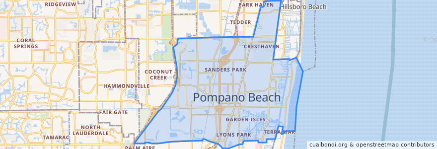
Pompano Beach
Pompano Beach
インタラクティブマップで見る
公共交通機関のルート
BCT 10
BCT 14
BCT 34
BCT 42
BCT 83
Flixbus 2410: Gainesville => Miami
Flixbus 2410: Miami => Gainesville
Flixbus 2411: Miami => Orlando
Flixbus 2411: Orlando => Miami
Tri-Rail: Mangonia Park => Miami Airport
Tri-Rail: Miami Airport => Mangonia Park
ストップ
Pompano Beach
-80.12619450000001, 26.2340464
Pompano Beach
-80.12649160000001, 26.233468400000003
興味がある点
Saint Martin-in-the-Fields Episcopal Church
Bank of America
Lighthouse Point Police Department
Pompano Beach Post Office
Dunkin' Donuts
Enterprise
26° Brewing Company
Valero
Chinese Kitchen
North Pompano Baptist Preschool
Broward Children's Center North
Ruby Tuesday's
Lighthouse Point Library
McDonald's
Walgreens
Village United Methodist Church of North Lauderdale
John Knox Village Health Center of Pompano Beach
Broward County Law Library
Cypress Run Alternative Center
Bank of America
New Covenant Missionary Baptist Church
Saint Philips Episcopal Church
Calvary Church
Hope Lutheran
Chevron
Forest Lawn Memorial Park of Broward County
Lighthouse Point Fire Department
Marathon
Church of Faith
Pompano Beach Branch Library