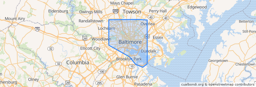
Percorsi di trasporto pubblico
Fermate
- Park Heights Avenue & Springhill Avenue Southbound
- -76.66584010000001, 39.254791000000004
- -76.5690938, 39.2876865
- -76.56005610000001, 39.365737
- -76.6264379, 39.3270392
- -76.6095919, 39.3432497
- -76.5692731, 39.2757641
- -76.6093843, 39.31841
- -76.65592310000001, 39.3331838
- -76.5851286, 39.365974300000005
- -76.61752530000001, 39.3260196
- Greenspring Avenue & Oswego Avenue Southbound
- -76.6093439, 39.3270162
- -76.6144965, 39.278892500000005
- Eager Street
- Pennsylvania Avenue & Retreat Street Northbound
- -76.56914060000001, 39.2864852
- -76.62432650000001, 39.3367881
- Greenmount Avenue & 36th Street Northbound
- -76.5412615, 39.2861696
- -76.6485445, 39.3319707
- Towanda Avenue & 2nd Liberty Village Entrance Southbound
- Northern Parkway & Park Heights Avenue Westbound Far-side
- York Road & 43rd Street Opposite Southbound
- University Parkway & San Martin Drive Southbound
- Eastern Avenue & East Avenue Westbound
- -76.5815791, 39.3671267
- Lexington Market
- -76.6323847, 39.3310486
- Bentalou Street & North Avenue Southbound
Punti di interesse
