Login
Star users
Poll
Home
>
United States
>
Maryland
>
Harford County
>
Bel Air
Bel Air
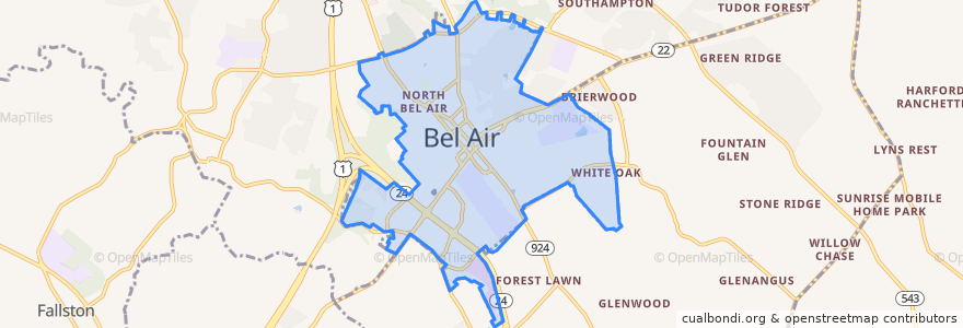
See in interactive map
Routes of public transport
Commuter Bus 410: Churchville/Bel Air
Harford Transit LINK Bus Route 1 Green Line (East)
Harford Transit LINK Bus Route 1 Green Line (West)
Stops
Harford County Health Department (Hays Street & Thomas Street)
South Kelly Avenue & Boulton Street
South Kelly Avenue & Boulton Street
Harford County Health Department (Hays Street & Thomas Street)
South Kelly Avenue & Boulton Street
Churchville Road/Route 22 & Giles Street
Churchville Road/Route 22 & Giles Street
Harford Mall (Greene Turtle)
Harford Mall (Greene Turtle)
South Kelly Avenue & Boulton Street
Points of interest
Premier Driving School
Margherita's
N. Bojji Reddy, M.D., Ph.D., P.A.
Harford County Courthouse
Cuzino's Family Kitchen
Podiatry Associates
Bonefish Grill
The Pretzel Twister
Pure Raw Juice
Z Vault
Red Robin
Villa Italian Kitchen
Bel Air Police Department
Little Free Library
iLoveKickboxing.com
Rainbow King
Tropical Smoothie Cafe
Black Eyed Suzie's
Richard A. DeSantis, Ph.D., M.D., P.C.
Calvary Church
Human Development Center
Lets Drive Driving School
Sino Wok
Tae Kwon Do Masters
The Greene Turtle
La Familia International Market
Poké Bowl
Bagel Works
Liberatore's Ristorante & Catering
Maria's Restaurant