Log masuk
Pengguna bintang
Undian
Laman utama
>
Amerika Syarikat
>
Maryland
>
Harford County
>
Bel Air
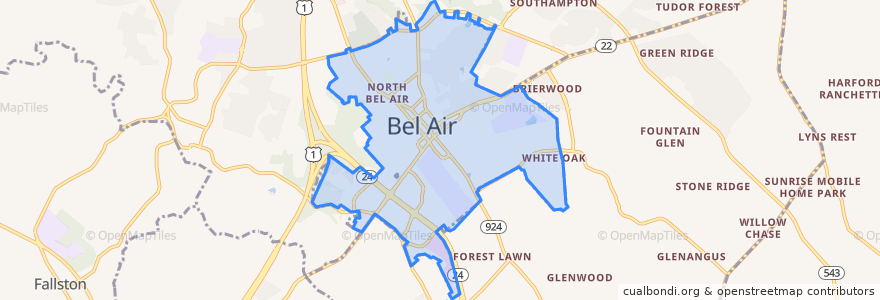
Bel Air
Lihat di peta interaktif
Laluan pengangkutan awam
Commuter Bus 410: Churchville/Bel Air
Harford Transit LINK Bus Route 1 Green Line (East)
Harford Transit LINK Bus Route 1 Green Line (West)
Perhentian
Churchville Road/Route 22 & Giles Street
Harford Mall (Greene Turtle)
Churchville Road/Route 22 & Giles Street
South Kelly Avenue & Boulton Street
Harford County Health Department (Hays Street & Thomas Street)
South Kelly Avenue & Boulton Street
South Kelly Avenue & Boulton Street
Harford County Health Department (Hays Street & Thomas Street)
Harford Mall (Greene Turtle)
South Kelly Avenue & Boulton Street
Tempat menarik
Schlehr Pavilion
C. R. Wings
Cuzino's Family Kitchen
Lets Drive Driving School
Premier Driving School
Barrett's on the Pike
Samara Bike Rack
Qdoba
Tropical Smoothie Cafe
N. Bojji Reddy, M.D., Ph.D., P.A.
Sunny Day Cafe
iLoveKickboxing.com
The Greene Turtle
The Pretzel Twister
Poké Bowl
Richard A. DeSantis, Ph.D., M.D., P.C.
Human Development Center
Villa Italian Kitchen
Mathnasium
Wakefield Elementary School
Five Guys
Maria's Restaurant
Red Robin
Ms. Barrington - Psychic
Harford County Courthouse
Pure Raw Juice
Little Free Library
Harford Artists Gallery
Calvary Church
Looney's Pub North