로그인
스타 사용자
투표
홈페이지
>
미국
>
메릴랜드
>
Harford County
>
Bel Air
Bel Air
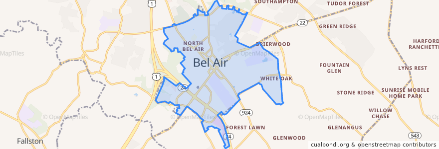
대화식지도에서보기
대중 교통 경로
Commuter Bus 410: Churchville/Bel Air
Harford Transit LINK Bus Route 1 Green Line (East)
Harford Transit LINK Bus Route 1 Green Line (West)
버스 정류장
Churchville Road/Route 22 & Giles Street
Harford Mall (Greene Turtle)
Harford County Health Department (Hays Street & Thomas Street)
South Kelly Avenue & Boulton Street
Harford County Health Department (Hays Street & Thomas Street)
South Kelly Avenue & Boulton Street
Churchville Road/Route 22 & Giles Street
Harford Mall (Greene Turtle)
South Kelly Avenue & Boulton Street
South Kelly Avenue & Boulton Street
가볼만한 곳
Harford County Courthouse
Mila's Pizzeria
Lets Drive Driving School
Margherita's
Sood Psychiatric Services
Poké Bowl
Schlehr Pavilion
Liberatore's Ristorante & Catering
Podiatry Associates
Five Guys
Maria's Restaurant
Calvary Church
Friendly's
Looney's Pub North
Bel Air Police Department
Black Eyed Suzie's
Bonefish Grill
Harford Artists Gallery
Mathnasium
Little Free Library
Premier Driving School
Barrett's on the Pike
Samara Bike Rack
Ms. Barrington - Psychic
C. R. Wings
Tropical Smoothie Cafe
Sunny Day Cafe
Pure Raw Juice
Bird's Nest Barbecue
Bel Air Town Hall