Login
Star users
Poll
Home
>
United States
>
Michigan
>
Genesee County
>
Flint
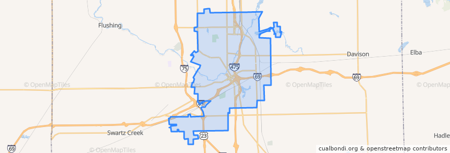
Flint
See in interactive map
Routes of public transport
MTA Flint 10 Richfield Road
MTA Flint 11 Fenton Road
MTA Flint 12 Beecher-Corunna
MTA Flint 15 Shopper Route
MTA Flint 1 North Saginaw
MTA Flint 8 South Saginaw (Genesys Health Park trips)
MTA Flint 8 South Saginaw (Grand Mall trips)
MTA Flint 9 Lapeer Road
Stops
14
4
12
9
5
Points of interest
Eisenhower School
Kroger
Marathon
Flint
Rite Aid
Admiral Petroleum
Capitol
Career Alliance
Student Veterans Resource Center
Parkland School
Torch Bar & Grill
Gourmet Wok
Dewey School
Rallys
McKinley School
Blue Rhino
Oriental Express
Dort School
Hazelton School
Sunoco
Sportlite Grill
Hong Da
MTA Administration Building
Saint Michael's Church
Kiva
Golden Leaf Club
Kith Haven
One Stop Food Store
Martin School
Central High School