Login
Star users
Poll
Home
>
United States
>
Michigan
>
Genesee County
>
Flint
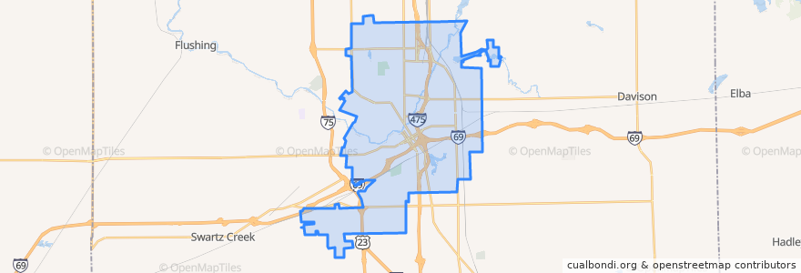
Flint
See in interactive map
Routes of public transport
MTA Flint 10 Richfield Road
MTA Flint 11 Fenton Road
MTA Flint 12 Beecher-Corunna
MTA Flint 15 Shopper Route
MTA Flint 1 North Saginaw
MTA Flint 8 South Saginaw (Genesys Health Park trips)
MTA Flint 8 South Saginaw (Grand Mall trips)
MTA Flint 9 Lapeer Road
Stops
5
12
4
9
14
Points of interest
Subway
Marathon
Torch Bar & Grill
Student Veterans Resource Center
Western Union
Potter School
Women's Educational Center
China City
Pierce School
Fire Station Number 1
One Stop Food Store
Hong Da
Kroger
MTA Administration Building
Parkland School
YaYa's
Hazelton School
J F Kennedy School
Martin School
Central Church of the Nazarene
Central High School
Eisenhower School
White Horse Tavern
Sportlite Grill
Speedway
Genesee County
Career Alliance
Oak Street Senior Apartments
Jilly's Pizza
Kiva