로그인
스타 사용자
투표
홈페이지
>
미국
>
미시간
>
Genesee County
>
Flint
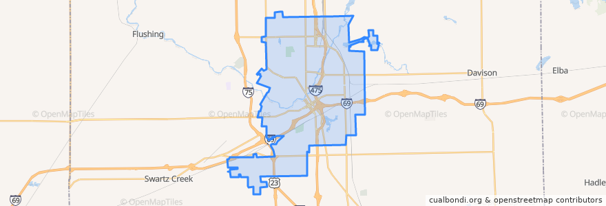
Flint
대화식지도에서보기
대중 교통 경로
MTA Flint 10 Richfield Road
MTA Flint 11 Fenton Road
MTA Flint 12 Beecher-Corunna
MTA Flint 15 Shopper Route
MTA Flint 1 North Saginaw
MTA Flint 8 South Saginaw (Genesys Health Park trips)
MTA Flint 8 South Saginaw (Grand Mall trips)
MTA Flint 9 Lapeer Road
버스 정류장
14
5
12
9
4
가볼만한 곳
Oak Street Senior Apartments
Kiva
Sobey School
Sacred Heart School
Rite Aid
Oriental Express
Women's Educational Center
Jilly's Pizza
YaYa's
Golden Leaf Club
Whittier Junior High School
Potter School
Coolidge School
Fire Station Number 1
Saint Leo School
Western Union
Martin School
Parkland School
Picasso Resteraunt Group
Chase
Dewey School
Gourmet Wok
Marathon
Kith Haven
Flint
Eisenhower School
Our Savior School
J F Kennedy School
Hong Da
White Horse Tavern