Login
Star users
Poll
Home
>
United States
>
Missouri
>
City of Saint Louis
>
St. Louis
St. Louis
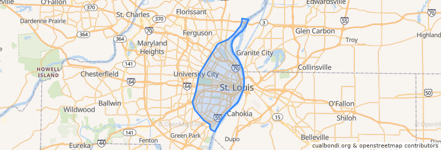
See in interactive map
Routes of public transport
Amtrak Lincoln Service: Chicago <=> Saint Louis
MetroBus 12 Union
MetroBus 14 Botanical Garden
MetroBus 19 St. Louis Avenue
MetroBus 210 Fenton-Gravois Bluffs
MetroBus 3 Forest Park Trolley Blue
MetroBus 96 Market Street Shuttle
MetroBus Green
MetroLink Blue Line (Eastbound)
MetroLink Blue Line (Westbound)
MetroLink Red Line (Eastbound)
MetroLink Red Line (Westbound)
Zoo Line
Stops
8th & Pine
Skinker Metrolink at Forest Park Parkway
Forest Park - DeBaliviere
F
Saint Louis
Central West End
Cortex
Skinker at Waterman SB
Forest Park - DeBaliviere
Stadium
Grand
B
Skinker at Brookings
Skinker
Shrewsbury-Lansdowne I-44
Convention Center
Cortex
Skinker at Westminster Place SB
Skinker
Union Station
Skinker at Delmar SB
Laclede's Landing
Delmar Loop
Forsyth at Hoyt WB
Points of interest
Rooster
Rasoi
Mr. Currys Buffet Express - India Restaurant
Howl At the moon
Medina Grill
The Last Bar
Taha'a Twisted Tiki
Anheuser-Busch Hippo Harbor
Skinker MetroLink Pay Phone
Tiki Fruit Cafe
Hard Rock Cafe
Blueprint Coffee
St. Louis Parking
Cardinals Nation
Dippin' Dots
City of Saint Louis
Lucky's Dueling Piano bar
Tavolo
Charlie Gitto's Downtown
The Parlor
1764 Public House
Tyler Redeeming Christian Spiritualist Church
City Hall Parking Lot (public)
Medical Examiner
International Tap House
Chase Club
Stray Rescue of St. Louis
Flying Saucer
Pita Pit
New Spirit Community Church