Conecte-se
Usuários estrela
Pesquisa
Início
>
Estados Unidos da América
>
Missouri
>
City of Saint Louis
>
St. Louis
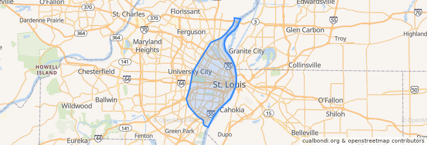
St. Louis
Veja no mapa interativo
Rotas de transporte público
Amtrak Lincoln Service: Chicago <=> Saint Louis
MetroBus 12 Union
MetroBus 14 Botanical Garden
MetroBus 19 St. Louis Avenue
MetroBus 210 Fenton-Gravois Bluffs
MetroBus 3 Forest Park Trolley Blue
MetroBus 96 Market Street Shuttle
MetroBus Green
MetroLink Blue Line (Eastbound)
MetroLink Blue Line (Westbound)
MetroLink Red Line (Eastbound)
MetroLink Red Line (Westbound)
Zoo Line
Paradas
Convention Center
Cortex
Forsyth at Hoyt WB
Saint Louis
Skinker
Central West End
Skinker at Delmar SB
Forest Park - DeBaliviere
Union Station
8th & Pine
Stadium
Skinker at Westminster Place SB
Forest Park - DeBaliviere
B
Cortex
Skinker Metrolink at Forest Park Parkway
Delmar Loop
Shrewsbury-Lansdowne I-44
Skinker
F
Grand
Laclede's Landing
Skinker at Waterman SB
Skinker at Brookings
Pontos de interesse
Central Express
Dipping Dots Ice Cream
Ice Cream Oasis
Missouri Bar and Grille
Regional Arts Commission
Crown Candy Kitchen
Lindell Bank
The Last Bar
Meeting of the Waters Fountain
Lumière Place Hotel & Casino Parking Garage
Nixa
Hotel Parking
Gingo
Busey Bank
Sanctuaria
The Grand Hall
Downtown bike Station
Hooters
Pita Pit
McDonald's
Bobby's Place / Plagers Lounge
Jefferson Memorial Post Office
Gaslight Lounge
New Hope Church of the Nazarene
Walgreens
Saint Augustine Church
ChargePoint
Gamlin Whisky House
Pattison Baptist Church
Gene’s Bar & Grill