Login
Usuarios estrella
Encuesta
Inicio
>
Estados Unidos de América
>
Iowa
>
Woodbury County
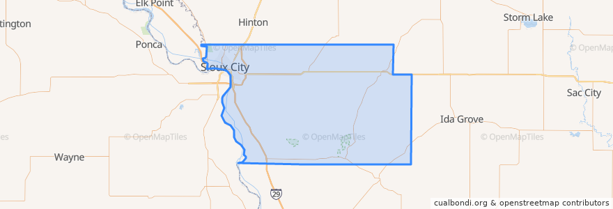
Woodbury County
Ver en mapa interactivo
Recorridos de transporte público
Airport
Commons
Council Oaks
Indian Hills
Leeds
Marketplace
Pierce/Jackson
Riverside
Southern Hills
Lugares
Sioux City
(9)
Sergeant Bluff
(1)
Anthon
(0)
Bronson
(0)
Correctionville
(0)
Cushing
(0)
Danbury
(0)
Hornick
(0)
Lawton
(0)
Moville
(0)
Oto
(0)
Pierson
(0)
Salix
(0)
Sloan
(0)
Smithland
(0)
Puntos de interés
Grace United Methodist Church
First National Bank
Lawton
Great Southern Bank
Kum & Go
Friendship Community Church
Hy-Vee Pharmacy
Sioux City Farmers Market
Mount Olive Baptist Church
Riverside Elementary School
Taco John's
Washington School (Demolished)
Sioux City Allergy and Asthma
Moville
Northside Clinic
Leeann Chin
Morningside Branch Library
Nodland Elementary School
West Middle School
Orpheum Theater
HuHot Mongolian Grill
Dairy Queen
Our Saviour's Lutheran Church
Drilling Pharmacy
Riverside Car Wash
Sergeant Bluff Post Office
Pizza Ranch
Sacred Heart School
Jones Eye Clinic
Emerson School (Closed Summer 2014)