Login
Star users
Poll
Home
>
United States
>
Indiana
>
Floyd County
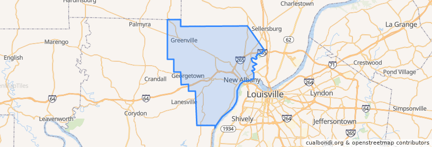
Floyd County
See in interactive map
Routes of public transport
71 Jeffersonville - Louisille - New Albany Westbound (selected)
71 Jeffersonville - Louisville - New Albany Eastbound (selected)
82 New Albany - Clarksville Crosstown Eastbound (alternate)
82 New Albany - Clarksville Crosstown Eastbound (regular)
82 New Albany - Clarksville Crosstown Westbound (regular)
Places
New Albany
(5)
Georgetown
(0)
Greenville
(0)
Stops
Knob View Apt.
Park / Progress
State / Elm
Spring / Vincennes
Points of interest
Cafe 157
Mortenson Family Dental
water closet
Mimo's Pizzeria
Big Boy
Griffin School
Holy Family School
Mimo's Pizzeria
Oral & Facial Surgery Group
McDonald's
Five Guys
S Ellen Jones Elementary School
Arby's
New Albany
Marathon
Dragon King's Daughter
El Nopal
Bella Roma
Qdoba
The Grand - Event hall
Aladdin's Cafe
La Habana Blues
Shell
Floyd County
Subway
First Savings Bank
Centra Credit Union
Mortenson's Family Dental
US Bank
The Exchange