Login
Star users
Poll
Home
>
United States
>
Indiana
>
Floyd County
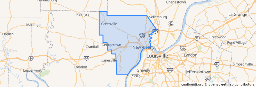
Floyd County
See in interactive map
Routes of public transport
71 Jeffersonville - Louisille - New Albany Westbound (selected)
71 Jeffersonville - Louisville - New Albany Eastbound (selected)
82 New Albany - Clarksville Crosstown Eastbound (alternate)
82 New Albany - Clarksville Crosstown Eastbound (regular)
82 New Albany - Clarksville Crosstown Westbound (regular)
Places
New Albany
(5)
Georgetown
(0)
Greenville
(0)
Stops
Knob View Apt.
State / Elm
Spring / Vincennes
Park / Progress
Points of interest
Cafe 157
Shell
Oral & Facial Surgery Group
El Nopal
Finding Her Health
Centra Credit Union
Mimo's Pizzeria
Aladdin's Cafe
Taco Bell
Rite Aid
Subway
First Savings Bank
New Albany
Tucker's
Starbucks
The Grand - Event hall
Dragon King's Daughter
East Spring Street School
Georgetown
Holy Family School
La Catrina
Bella Roma
Penn Station
La Habana Blues
Marathon
Mortenson's Family Dental
Bob Evans
Floyd County
Marathon
water closet