ログインする
スターユーザー
投票
ホーム
>
アメリカ合衆国
>
インディアナ州
>
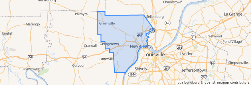
Floyd County
Floyd County
インタラクティブマップで見る
公共交通機関のルート
71 Jeffersonville - Louisille - New Albany Westbound (selected)
71 Jeffersonville - Louisville - New Albany Eastbound (selected)
82 New Albany - Clarksville Crosstown Eastbound (alternate)
82 New Albany - Clarksville Crosstown Eastbound (regular)
82 New Albany - Clarksville Crosstown Westbound (regular)
場所
New Albany
(5)
Georgetown
(0)
Greenville
(0)
ストップ
Knob View Apt.
Park / Progress
Spring / Vincennes
State / Elm
興味がある点
Oral & Facial Surgery Group
Tucker's
The UPS Store
Bella Roma
Comfy Cow;Sew Fitting
New Albany Post Office
S Ellen Jones Elementary School
Big Boy
Fistful of Tacos
The Grand - Event hall
Surgical Center of New Albany
East Spring Street School
El Nopal
The Exchange
Greenville
Qdoba
Georgetown
water closet
Floyd County
Marathon
Centra Credit Union
US Bank
Arby's
Cafe 157
Mortenson Family Dental
La Habana Blues
Starbucks
Rite Aid
Taco Bell
Griffin School