Conecte-se
Usuários estrela
Pesquisa
Início
>
Estados Unidos da América
>
Indiana
>
Floyd County
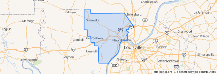
Floyd County
Veja no mapa interativo
Rotas de transporte público
71 Jeffersonville - Louisille - New Albany Westbound (selected)
71 Jeffersonville - Louisville - New Albany Eastbound (selected)
82 New Albany - Clarksville Crosstown Eastbound (alternate)
82 New Albany - Clarksville Crosstown Eastbound (regular)
82 New Albany - Clarksville Crosstown Westbound (regular)
Lugares
New Albany
(5)
Georgetown
(0)
Greenville
(0)
Paradas
State / Elm
Knob View Apt.
Park / Progress
Spring / Vincennes
Pontos de interesse
Marathon
First Savings Bank
Mimo's Pizzeria
Bella Roma
Aladdin's Cafe
Jimmy John's
S Ellen Jones Elementary School
Starbucks
East Spring Street School
Dragon King's Daughter
Taco Bell
Bob Evans
Penn Station
Griffin School
Fistful of Tacos
The UPS Store
Oral & Facial Surgery Group
Quill's Coffee
Big Boy
Finding Her Health
Surgical Center of New Albany
Papa Murphy's
El Nopal
US Bank
New Albany Post Office
Floyd County
Shell
Greenville
Georgetown
Mimo's Pizzeria