Login
Star users
Poll
Home
>
United States
>
Texas
>
Collin County
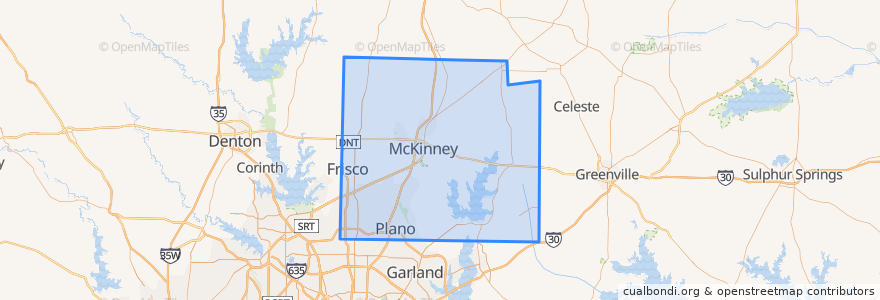
Collin County
See in interactive map
Routes of public transport
DART 210 Jack Hatchell Express
DART 410 Parker Road Station/South Garland Transit Center
Orange Line: DFW Airport => Parker Road
Orange Line: Parker Road => DFW Airport
Red Line: Cedars => Parker Road
Red Line: Parker Road => Cedars
Red Line: Parker Road => Westmoreland
Red Line: Westmoreland => Parker Road
Places
Allen
(0)
Anna
(0)
Fairview
(0)
Farmersville
(0)
McKinney
(0)
Melissa
(0)
Murphy
(0)
Nevada
(0)
Parker
(0)
Stops
-96.7006485, 33.033853400000005
-96.70091670000001, 33.0207982
-96.7030514, 33.0022559
-96.7030926, 33.002267100000005
-96.70086500000001, 33.0207988
-96.7007724, 33.033856300000004
Points of interest
Caddo Mills
Jörg's Cafe Vienna
Subway
Dickies Barbeque
Celina
Melissa
Allen
Sushi Robata
Mi Cocina
Farmersville
Plano Post Office - Downtown Station
Genghi's Grill
Nest Burger
Lockhart's BBQ
Iron Wok
Nevada
Oliver's
Vickery Park
Joe's Crab Shack
Plano Post Office - Downtown Station
Coit Street Inspections
Subway
Haggard Park Pond Fountain North
Apollonia's Italian Kitchen
The Filmore Pub
Coal Vines
QuikTrip
Fairview
Edoko Sushi & Robata
Urban Rio