ログインする
スターユーザー
投票
ホーム
>
アメリカ合衆国
>
テキサス州
>
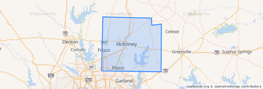
Collin County
Collin County
インタラクティブマップで見る
公共交通機関のルート
DART 210 Jack Hatchell Express
DART 410 Parker Road Station/South Garland Transit Center
Orange Line: DFW Airport => Parker Road
Orange Line: Parker Road => DFW Airport
Red Line: Cedars => Parker Road
Red Line: Parker Road => Cedars
Red Line: Parker Road => Westmoreland
Red Line: Westmoreland => Parker Road
場所
Allen
(0)
Anna
(0)
Fairview
(0)
Farmersville
(0)
McKinney
(0)
Melissa
(0)
Murphy
(0)
Nevada
(0)
Parker
(0)
ストップ
-96.7030514, 33.0022559
-96.7006485, 33.033853400000005
-96.70086500000001, 33.0207988
-96.7030926, 33.002267100000005
-96.70091670000001, 33.0207982
-96.7007724, 33.033856300000004
興味がある点
Jörg's Cafe Vienna
Allen
Iron Wok
Comerica Bank
Apollonia's Italian Kitchen
Plano Post Office - Downtown Station
Kelly's Eastside
Nest Burger
Schlotzsky's Deli
Plano Post Office - Downtown Station
Sushi Robata
Plano Specialty Hospital
Martin Chiropractic
Coit Street Inspections
Brix
Lockhart's BBQ
1418 Coffeehouse
Collin County
Melissa
Edoko Sushi & Robata
Texas Stroke Institute
Frisco
Subway
Nevada
Anna
Murphy
Plano
Angelo & Vito's
The Filmore Pub
Joe's Crab Shack