Login
Star users
Poll
Home
>
United States
>
Texas
>
Collin County
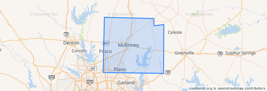
Collin County
See in interactive map
Routes of public transport
DART 210 Jack Hatchell Express
DART 410 Parker Road Station/South Garland Transit Center
Orange Line: DFW Airport => Parker Road
Orange Line: Parker Road => DFW Airport
Red Line: Cedars => Parker Road
Red Line: Parker Road => Cedars
Red Line: Parker Road => Westmoreland
Red Line: Westmoreland => Parker Road
Places
Allen
(0)
Anna
(0)
Fairview
(0)
Farmersville
(0)
McKinney
(0)
Melissa
(0)
Murphy
(0)
Nevada
(0)
Parker
(0)
Stops
-96.70091670000001, 33.0207982
-96.7006485, 33.033853400000005
-96.7007724, 33.033856300000004
-96.7030926, 33.002267100000005
-96.7030514, 33.0022559
-96.70086500000001, 33.0207988
Points of interest
Taqueria Los Angeles
Haggard Park Pond Fountain South
Plano Specialty Hospital
Sushi Robata
Caddo Mills
Celina
Prosper
Haggard Park Pond Fountain North
Plano Post Office - Downtown Station
Comerica Bank
Iron Wok
QuikTrip
Martin Chiropractic
Urban Rio
The Filmore Pub
Texas Stroke Institute
Jörg's Cafe Vienna
Schlotzsky's Deli
Hot Pancakes
Norma's
Subway
Farmersville
On The Rocks
Dickies Barbeque
Subway
Collin County
Plano Post Office - Downtown Station
McKinney
Tricky Fish
Edoko Sushi & Robata