تسجيل الدخول
مستخدمي ستار
تصويت
الصفحة الرئيسية
>
الولايات المتّحدة الأمريكيّة
>
تكساس
>
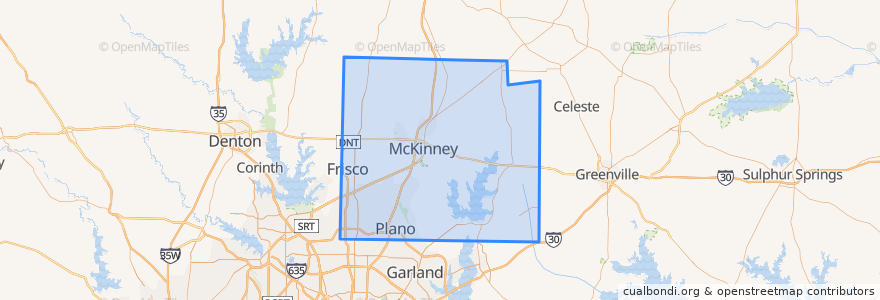
Collin County
Collin County
انظر في الخريطة التفاعلية
طرق النقل العام
DART 210 Jack Hatchell Express
DART 410 Parker Road Station/South Garland Transit Center
Orange Line: DFW Airport => Parker Road
Orange Line: Parker Road => DFW Airport
Red Line: Cedars => Parker Road
Red Line: Parker Road => Cedars
Red Line: Parker Road => Westmoreland
Red Line: Westmoreland => Parker Road
أماكن
Allen
(0)
Anna
(0)
Fairview
(0)
Farmersville
(0)
McKinney
(0)
Melissa
(0)
Murphy
(0)
Nevada
(0)
Parker
(0)
موقف
-96.7007724, 33.033856300000004
-96.7030926, 33.002267100000005
-96.7006485, 33.033853400000005
-96.70086500000001, 33.0207988
-96.70091670000001, 33.0207982
-96.7030514, 33.0022559
مجالات الاهتمام
Farmersville
Sushi Robata
Subway
Wylie
Norma's
Murphy
Prosper
Kelly's Eastside
Martin Chiropractic
Plano Post Office - Downtown Station
Heritage Manor Healthcare Residence
Iron Wok
Schlotzsky's Deli
Nest Burger
On The Rocks
Dickies Barbeque
Genghi's Grill
Frisco
Texas Stroke Institute
Mi Cocina
The Heart Hospital Baylor Plano
Angelo & Vito's
Taqueria Los Angeles
Subway
Plano Post Office - Downtown Station
Apollonia's Italian Kitchen
Master Wok
The Filmore Pub
Coal Vines
Celina