Login
Star users
Poll
Home
>
United States
>
California
>
San Diego County
>
National City
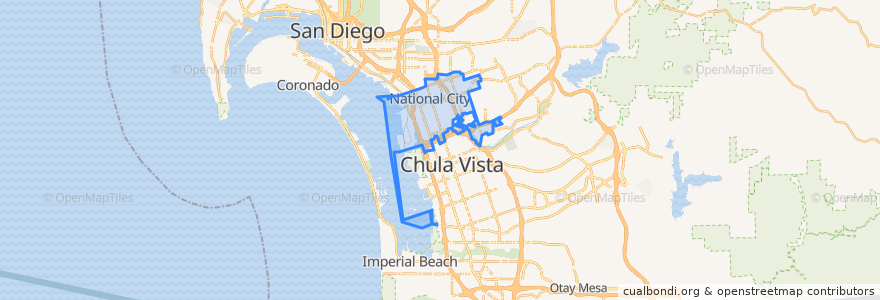
National City
See in interactive map
Routes of public transport
MTS 705 (to E Street Transit Center)
MTS 705 (to E Street Transit Center, short turn)
MTS 705 (to Southwestern College)
MTS 705 (to Westfield Plaza Bonita, short turn)
Navy Base San Diego Bus Route
UC San Diego Blue Line: America Plaza => San Ysidro Transit Center
UC San Diego Blue Line: San Ysidro Transit Center => America Plaza
Stops
24th Street
NBSD Pier 5
Turnstyle/Gate 9 South
Turnstyle/Gate 9 North
NBSD Mole Rd.
NBSD Pier 7 North
24th Street
NBSD Fleet Exchange South
8th Street
Plaza Bonita Transit Center
NBSD Fleet Exchange North
8th Street
NBSD Harborside Gym
NBSD Pier 7 South
Points of interest
Hooters
Armed Forces Bank
Saint Anthonys Catholic Church
Wetzel's Pretzels
Red Robin
Charley's Philly Steaks
Starbucks
Cinnabon
The Buffalo Spot
Redbox
In-N-Out Burger
Denny's
Branch Health Clinic NBSD
Kimball School
Stone Oven
Red Box
Navy Federal
DQ Orange Julius
Vapor
L&L Hawaiian Barbecue
Pizza Hut Express
Starbucks
Jamba Juice
Chipotle
Branch Health Clinic Dental NBSD
National City Police Community Storefront
Burros & Fries
Starbucks
Sarku Japan
Sbarro