Conecte-se
Usuários estrela
Pesquisa
Início
>
Estados Unidos da América
>
Califórnia
>
San Diego County
>
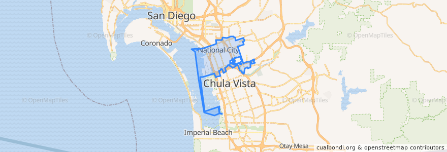
National City
National City
Veja no mapa interativo
Rotas de transporte público
MTS 705 (to E Street Transit Center)
MTS 705 (to E Street Transit Center, short turn)
MTS 705 (to Southwestern College)
MTS 705 (to Westfield Plaza Bonita, short turn)
Navy Base San Diego Bus Route
UC San Diego Blue Line: America Plaza => San Ysidro Transit Center
UC San Diego Blue Line: San Ysidro Transit Center => America Plaza
Paradas
8th Street
24th Street
Turnstyle/Gate 9 North
NBSD Pier 7 North
NBSD Pier 7 South
NBSD Fleet Exchange North
24th Street
NBSD Harborside Gym
NBSD Pier 5
8th Street
Turnstyle/Gate 9 South
Plaza Bonita Transit Center
NBSD Fleet Exchange South
NBSD Mole Rd.
Pontos de interesse
Pizza Hut Express
Burger King
In-N-Out Burger
Branch Health Clinic Dental NBSD
Jamba Juice
Kimball School
Hooters
Starbucks
The Buffalo Spot
Starbucks
Red Robin
Wetzel's Pretzels
Sarku Japan
National City Police Community Storefront
Broken Yolk Cafe
Branch Health Clinic NBSD
L&L Hawaiian Barbecue
GK Grill
Stone Oven
Panda Express
Freeze Gourmet
Red Box
Armed Forces Bank
Cafe Estela
Chipotle
Iglesia de Dios de la Profecia
Pentecostal Tabernacle of the Assembly of God
Navy Federal
Redbox
Chipotle