로그인
스타 사용자
투표
홈페이지
>
미국
>
캘리포니아주
>
San Diego County
>
National City
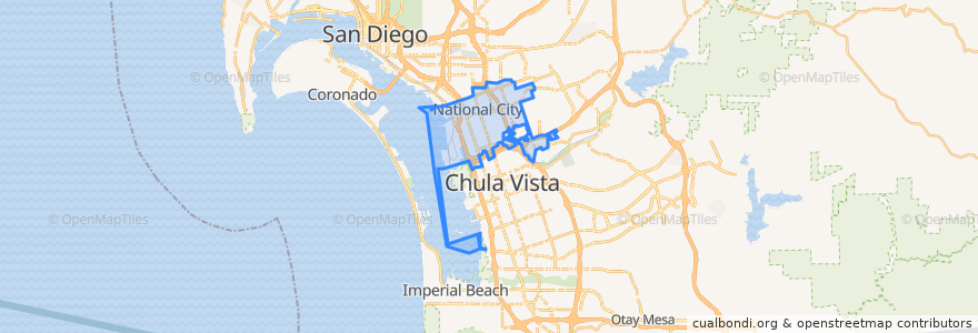
National City
대화식지도에서보기
대중 교통 경로
MTS 705 (to E Street Transit Center)
MTS 705 (to E Street Transit Center, short turn)
MTS 705 (to Southwestern College)
MTS 705 (to Westfield Plaza Bonita, short turn)
Navy Base San Diego Bus Route
UC San Diego Blue Line: America Plaza => San Ysidro Transit Center
UC San Diego Blue Line: San Ysidro Transit Center => America Plaza
버스 정류장
Turnstyle/Gate 9 South
NBSD Fleet Exchange North
NBSD Mole Rd.
8th Street
NBSD Harborside Gym
Plaza Bonita Transit Center
Turnstyle/Gate 9 North
24th Street
NBSD Pier 7 South
NBSD Pier 5
24th Street
NBSD Fleet Exchange South
NBSD Pier 7 North
8th Street
가볼만한 곳
Jamba Juice
Chipotle
McDonald's
Broken Yolk Cafe
Subway
Denny's
Starbucks
DQ Orange Julius
National City Police Community Storefront
Red Robin
GK Grill
Iglesia de Dios de la Profecia
Stone Oven
Kimball School
The Buffalo Spot
Vapor
Pentecostal Tabernacle of the Assembly of God
Charley's Philly Steaks
Starbucks
Pizza Hut Express
L&L Hawaiian Barbecue
Wetzel's Pretzels
Starbucks
Navy Federal
Sbarro
Cafe Estela
Burros & Fries
In-N-Out Burger
Chipotle
Saint Anthonys Catholic Church