Accesso
Utenti preferiti
Sondaggio
Homepage
>
Stati Uniti d'America
>
Washington
>
Franklin County
>
Pasco
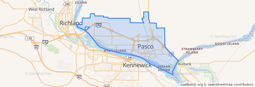
Pasco
Visualizza nella mappa interattiva
Percorsi di trasporto pubblico
Route 150 Eastbound
Route 160 Eastbound
Route 160 Westbound
Route 225 Eastbound
Route 225 Westbound
Route 41 Clockwise
Route 41 Counter-clockwise
Route 66 Eastbound
Route 66 Westbound
Route 67 Eastbound
Route 67 Westbound
Posti
West Pasco
(6)
Fermate
Sandifur & Broadmoor
Sylvester & 2nd Avenue
Sylvester & 27th Avenue
Argent & Road 56
Sylvester & 32nd Avenue
Argent & Road 56
22nd Avenue Transit Center
Broadmoor & Chapel Hill
Sylvester & 27th Avenue
22nd Avenue & Henry
Court & Road 66
Road 68 & Chapel Hill
Sandifur & Westminster
Chapel Hill & Suffolk
Court & Road 52
Chapel Hill & Suffolk
Sandifur & Moorgate
1st Avenue & Nixon
1st Avenue & Octave
Court & 14th Avenue
Court & Road 66
Lewis & 6th Avenue
Sandifur & Road 92
Road 68 & Wernett
Argent & Road 48
Sandifur & Moorgate
Sandifur & Midland
Burden & Kalahari
Sandifur & Hudson
Sylvester & 27th Avenue
Punti di interesse
First Church of Christ, Scientist
Bin No. 20 Wine Bar & Restaurant
Trejo's Mexican Restaurant
Bin No. 20 Wine Bar & Restaurant
Fiesta
Lavaraca Meat Market
La Vina Grupo
Walgreens
Tease and Tan Salon and Espresso
City of Pasco Police
My FroYo
A&W
Little Caesars
El Charrito
Love Curry
CBC Library
U.S. Bank
Hawk's Nest
Ruth Livingston Elementary School
Miramar
Oriental Express
Pasco
Iglesia Bautista de Riverview
Tri-City Junior Academy
DaVita Dialysis
El Asadero
Botanas Locas
Shell
Sunrise Super Gas
Franklin County Jail