로그인
스타 사용자
투표
홈페이지
>
미국
>
워싱턴
>
Franklin County
>
Pasco
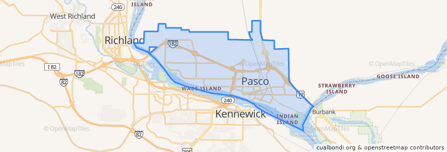
Pasco
대화식지도에서보기
대중 교통 경로
Route 150 Eastbound
Route 160 Eastbound
Route 160 Westbound
Route 225 Eastbound
Route 225 Westbound
Route 41 Clockwise
Route 41 Counter-clockwise
Route 66 Eastbound
Route 66 Westbound
Route 67 Eastbound
Route 67 Westbound
장소
West Pasco
(6)
버스 정류장
Argent & Road 76
Argent & Road 44
Sandifur & Hudson
Sandifur & Midland
Road 68 & Burden
1st Avenue & Nixon
20th Avenue & Irving
Lewis & 26th avenue
Road 68 & Richardson
Argent & 20th Avenue
Road 68 & Chapel Hill
Sylvester & Road 46
Chapel Hill & Suffolk
Lewis & 6th Avenue
Chapel Hill & Muris
10th Avenue & B Street
Road 84 & Bell
Argent & Road 76
Court & 10th Avenue
Sylvester & 32nd Avenue
Burden & Road 44
Argent & Road 56
Broadmoor & Chapel Hill
Sylvester & 24th Avenue
Court & Road 66
20th Avenue & Cartmell
Court & Road 40
Road 76 & Savory
4th Avenue & Bonneville
Henry & 22nd Avenue
가볼만한 곳
Miramar
Tri-Cities
Pasco Fire Station 82
Tesla Supercharger
My FroYo
Ostler Orthodontics
Oriental Express
Lavaraca Meat Market
Shell
Love Curry
Havana Café
A&W
Doñita's Tacos
Iglesia Bautista de Riverview
Walgreens
El Charrito
Hawk's Nest
El Asadero
CBC Library
Grand Central Coffee Station
Pasco
Little Caesars
City of Pasco Police
Bin No. 20 Wine Bar & Restaurant
Heritage University
La Vina Grupo
Pasco Intermodal Train Station
Botanas Locas
Tri-City Junior Academy
Bin No. 20 Wine Bar & Restaurant