Conecte-se
Usuários estrela
Pesquisa
Início
>
Estados Unidos da América
>
Washington
>
Franklin County
>
Pasco
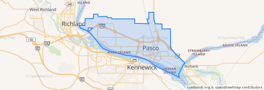
Pasco
Veja no mapa interativo
Rotas de transporte público
Route 150 Eastbound
Route 160 Eastbound
Route 160 Westbound
Route 225 Eastbound
Route 225 Westbound
Route 41 Clockwise
Route 41 Counter-clockwise
Route 66 Eastbound
Route 66 Westbound
Route 67 Eastbound
Route 67 Westbound
Lugares
West Pasco
(6)
Paradas
Broadmoor & Chapel Hill
Argent & Road 76
20th Avenue & Sun Willows
Argent & Road 64
Argent & Road 68
Court & 10th Avenue
Court & 10th Avenue
Sylvester & Road 36
Burden & Madison
4th Avenue & Bonneville
Argent & Road 64
Court & 3rd Avenue
Court & Road 60
Road 44 & Desert
10th Avenue & B Street
Argent & Road 52
Sylvester & Road 36
Sylvester & 32nd Avenue
Court & 10th Avenue
20th Avenue & Hopkins
Court & 14th Avenue
Road 68 & Wernett
Sylvester & 4th Avenue
Sandifur & Road 76
Argent & 20th Avenue
Court & Road 66
Argent & 20th Avenue
Argent & Morasch
Argent at Chiawana High School
Court & Road 42
Pontos de interesse
Grand Central Coffee Station
Tri-City Junior Academy
Botanas Locas
Ruth Livingston Elementary School
Tease and Tan Salon and Espresso
Tesla Supercharger
Walgreens
Oriental Express
Franklin County Jail
Doñita's Tacos
La Vina Grupo
My FroYo
Perro USA
El Charrito
A&W
Bruchies
Redbox
Heritage University
Pasco Fire Station 82
Hawk's Nest
Pasco
Bin No. 20 Wine Bar & Restaurant
CBC Dental Hygiene Clinic
Fiesta
City of Pasco Police
First Church of Christ, Scientist
U.S. Bank
Love Curry
Ostler Orthodontics
Lavaraca Meat Market