Login
Star users
Poll
Home
>
United States
>
Wisconsin
>
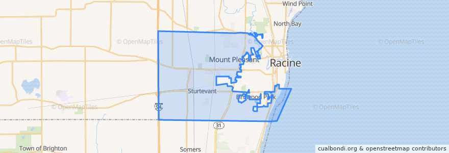
Mount Pleasant
Mount Pleasant
See in interactive map
Routes of public transport
Ryde Route 27
Ryde Route 86
Stops
Spring Street And Valley View Drive
Ohio Street And Shirley Avenue
Renaissance Center North
Case High School
Aurora Health Care
Sth 31 And 16th Street
Spring Street And Indiana Street
Ohio Street And Westway Avenue
Ohio Street And Ridgeway Avenue
Spring Street And Illinois Street
Durand Avenue Walmart
State Hwy 31 At Kohls
Ohio Street And Graceland Boulevard
Washington Avenue And Green Bay Road
Spring Street And E Colonial Drive
Spring Street And Ohio Street
Waxdale
Rayne Road And 90th Street
International Drive (Southern End)
Washington Avenue
Sth 31 And Fifteenth Street
Points of interest
Subway
Starbucks
Redbox
Aurora Pharmacy
Ascend Dermatology
Mount Pleasant
Toppers Pizza
Yuni's Avenue Cafe
The Angry Brothers Pub
Dunkin' Donuts
Tungseth Psychotherapy Clinic
Baskin-Robbins
DeRango's Pizza
Noodles & Company
Qdoba
Hertz
Walmart Pharmacy
ForwardDental
Subway
Firehouse Subs
Domino's
Dickey's Barbecue Pit
Burger King
My First Peekaboo
Jimmy John's
TMJ & Orofacial Pain Treatment Centers of Wisconsin
20 and Oakes Bar and Grill
Dr. James Luetzow, DDS
Spine and Joint Institute of Wisconsin
Aurora Urgent Care