وارد شدن
کاربران ستاره
نظرسنجی
شروع
>
ایالات متحده آمریکا
>
ویسکانسین
>
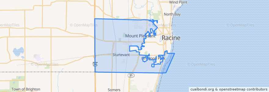
Mount Pleasant
Mount Pleasant
در نقشه تعاملی مشاهده کنید
مسیرهای حمل و نقل عمومی
Ryde Route 27
Ryde Route 86
ایستگاه
Spring Street And Illinois Street
Renaissance Center North
Sth 31 And 16th Street
Case High School
Aurora Health Care
Ohio Street And Westway Avenue
Spring Street And Indiana Street
Durand Avenue Walmart
Ohio Street And Ridgeway Avenue
Rayne Road And 90th Street
Ohio Street And Graceland Boulevard
Sth 31 And Fifteenth Street
Washington Avenue And Green Bay Road
International Drive (Southern End)
Spring Street And E Colonial Drive
Ohio Street And Shirley Avenue
Spring Street And Valley View Drive
Waxdale
Washington Avenue
Spring Street And Ohio Street
State Hwy 31 At Kohls
نقاط مورد علاقه
Hertz
Chipotle
TMJ & Orofacial Pain Treatment Centers of Wisconsin
Yuni's Avenue Cafe
Walmart Pharmacy
My First Peekaboo
ForwardDental
Redbox
Dickey's Barbecue Pit
Mount Pleasant
Aurora Urgent Care
Baskin-Robbins
Georgie Porgie's
Toppers Pizza
Tungseth Psychotherapy Clinic
Aurora Pharmacy
Jimmy John's
Spine and Joint Institute of Wisconsin
20 and Oakes Bar and Grill
Domino's
Scores Sports Bar and Grill
Burger King
Subway
Subway
Qdoba
The Angry Brothers Pub
Dr. James Luetzow, DDS
Ascend Dermatology
DeRango's Pizza
Community Care