ログインする
スターユーザー
投票
ホーム
>
アメリカ合衆国
>
ウィスコンシン州
>
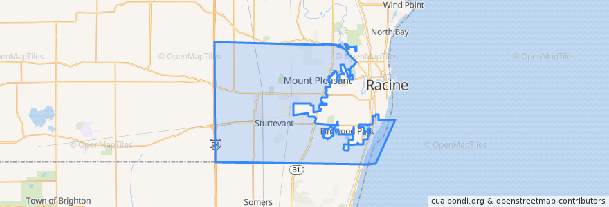
Mount Pleasant
Mount Pleasant
インタラクティブマップで見る
公共交通機関のルート
Ryde Route 27
Ryde Route 86
ストップ
Spring Street And Indiana Street
Ohio Street And Westway Avenue
Ohio Street And Shirley Avenue
Ohio Street And Ridgeway Avenue
Sth 31 And 16th Street
Aurora Health Care
Washington Avenue And Green Bay Road
State Hwy 31 At Kohls
Ohio Street And Graceland Boulevard
Spring Street And Ohio Street
Rayne Road And 90th Street
Renaissance Center North
Case High School
Sth 31 And Fifteenth Street
International Drive (Southern End)
Spring Street And Illinois Street
Durand Avenue Walmart
Washington Avenue
Spring Street And Valley View Drive
Waxdale
Spring Street And E Colonial Drive
興味がある点
Dr. James Luetzow, DDS
Qdoba
The Angry Brothers Pub
Redbox
Scores Sports Bar and Grill
Subway
Firehouse Subs
Noodles & Company
Jimmy John's
20 and Oakes Bar and Grill
Sturtevant
Subway
Spine and Joint Institute of Wisconsin
DeRango's Pizza
TMJ & Orofacial Pain Treatment Centers of Wisconsin
Yuni's Avenue Cafe
Burger King
Aurora Pharmacy
Dunkin' Donuts
Aurora Urgent Care
Burger King
Ascend Dermatology
Starbucks
Mount Pleasant
Hertz
ForwardDental
Chipotle
Dickey's Barbecue Pit
Community Care
Domino's