ログインする
スターユーザー
投票
ホーム
>
アメリカ合衆国
>
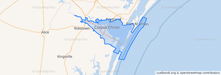
Corpus Christi
Corpus Christi
インタラクティブマップで見る
公共交通機関のルート
Advanced Industries
Gregory / Downtown Express
Leopard / Omaha
Santa Fe / Malls
Westside / Health Clinic
ストップ
Agnes @ Port
Leopard @ Van Cleve
19th @ Morris
Airline @ Monette
19th @ Agnes
Port @ Tarlton Heb
Airline @ Shamrock
Alameda @ Airline (Fs)
3rd @ Elizabeth
Leopard @ Carrizo Ns
Santa Fe @ Ropes
Santa Fe @ Amistad
Airline @ Alameda (Ns)
Leopard @ Villa
Up River Rd @ Erwin FS
Santa Fe @ Atlantic
Leopard @ Tulip
Airline @ Belmeade @ St. Bartholomew's Church
Santa Fe @ Doddridge
Port @ Nimitz
Leopard @ Lexington
Santa Fe @ Delmar
Port @ Baldwin (Fs)
Leopard @ Buddy Lawrence
Mcardle (Across From Salem)
Leopard @ Port
Santa Fe @ Brawner Pkwy
Santa Fe @ Sinclair
Santa Fe @ Hewitt
Hospital @ 19th
興味がある点
Citgo
Crescendo Cafe
Saint Nicholas Greek Orthodox Church
Corpus Christi Fire Department Station 5
Evans School
Saint Thomas and Martin Episcopal Church
Furman School
H-E-B Pharmacy
Landry's
Wynn Seale Academy of Fine Arts
Starbucks
Moody's Quality Meats
Scoopz
Holy Family Catholic Church
Freebirds World Burrito
First Baptist Church Flour Bluff
Brownlee Baptist Church
Subway
Valero
Calvary First Baptist Church
Pentecostal Holiness Church
Cathedral School
Morgan Avenue Baptist Church
Islamic Society of Southern Texas
Corpus Christi
The UPS Store
Saint John School
Holy Family Elementary School
Rudy's Country Store & Bar-B-Q
Austin School