로그인
스타 사용자
투표
홈페이지
>
미국
>
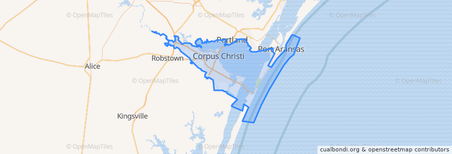
Corpus Christi
Corpus Christi
대화식지도에서보기
대중 교통 경로
Advanced Industries
Gregory / Downtown Express
Leopard / Omaha
Santa Fe / Malls
Westside / Health Clinic
버스 정류장
Agnes @ Francesca Ns
Agnes @ 21st
Santa Fe @ Doddridge
4645 Ocean Dr
2502 Baylor @ Morgan
Santa Fe @ Lorraine
Santa Fe @ Amistad
Up River @ Westchester
Hospital @ 19th
Alameda @ Airline (Fs)
10th St.@ Mckenzie
Santa Fe @ Atlantic
Santa Fe @ Ropes
Santa Fe @ Bayridge
Omaha @ Leopard MB
851 Omaha
Schatzell @ Mesquite (La Retama Park)
Mesquite @ Peoples
Baldwin @ Cheyenne FS
19th @ Hancock
Baldwin @ Morgan
Santa Fe @ Rossiter
Santa Fe @ Louise
Leopard @ Lexington
Leopard @ Upriver
Leopard @ Lancaster
Santa Fe @ Texan
Tarlton @ Sarita Heb
Leopard @ Buddy Lawrence
Santa Fe @ Rossiter
가볼만한 곳
IBC Bank
Fajitaville
Starbucks
Rudy's Gas
Five Guys
Kanto Filipino Barbecue
Valero
H-E-B Pharmacy
Saint Cyril and Methodius Church
Templo Baptist Church
Saint Pius X Catholic School
Chipotle
Valero
McDonald's
James Chapel Church of God in Christ
Royal India of Corpus Christi
Church of Christ
Hester's
Morgan Avenue Baptist Church
Covenant Baptist Church
Chuck E. Cheese's
Corpus Christi Fire Department Station 1
Ingleside on the Bay
Lozano School
Exxon Gas
Corpus Christi Fire Department Station 5
Our Lady of Perpetual Help Catholic School
Hillcrest Church of Christ
Landry's
Saint John School