Conecte-se
Usuários estrela
Pesquisa
Início
>
Estados Unidos da América
>
Corpus Christi
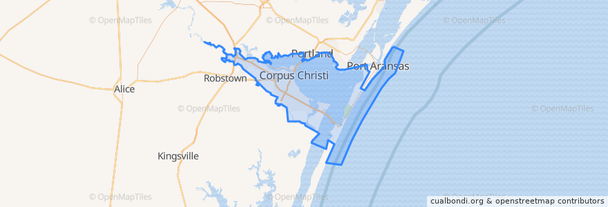
Corpus Christi
Veja no mapa interativo
Rotas de transporte público
Advanced Industries
Gregory / Downtown Express
Leopard / Omaha
Santa Fe / Malls
Westside / Health Clinic
Paradas
Leopard @ Port
Santa Fe @ Louise
Airline @ Lum (Across Church'S)
Port @ Tarlton Heb
Greenwood @ Sonora
Santa Fe @ Delmar
Santa Fe @ Rossiter
Leopard @ Stillman
Leopard @ Villa
Baldwin @ Across Blake
Omaha @ Leopard MB
Santa Fe @ Brawner Pkwy
Santa Fe @ Sinclair
Port @ Nimitz
Santa Fe @ Louise
Port @ San Jacinto
Leopard And Cleveland FS
Santa Fe @ Atlantic
Santa Fe @ Amistad
Santa Fe @ Bayridge
Leopard @ Tulip
Santa Fe @ Ropes
Santa Fe @ Ocean View
Greenwood @ Dunbar
Leopard @ Kennedy
Lipan @ Carrizo
Lipan @ Waco
Carancahua @ Park
Santa Fe @ Laurel
Baldwin @ Veracruz FS
Pontos de interesse
Scoopz
Five Guys
Cathedral School
Royal India of Corpus Christi
Sang’s Imperial Cafe
James Chapel Church of God in Christ
Rudy's Country Store & Bar-B-Q
Corpus Christi Fire Department Station 5
The UPS Store
Valero
Chipotle
Furman School
Chapel of Spiritual Light Church
Aspen Dental
El Divino Salvador Presbyterian Church
North Side Junior High School
Solvatian Army
H-E-B Pharmacy
Saint Joseph School
Omega School for Girls
Painting with a Twist
Saint Nicholas Greek Orthodox Church
Parkway Presbyterian Church
George Evans Elementary School
Refinery Terminal Fire Company
Templo Baptist Church
Bethel Assembly of God Church
Saint Thomas and Martin Episcopal Church
Bethel Baptist Church
Texas Serenity Academy