Login
Star users
Poll
Home
>
United States
>
Ohio
>
Erie County
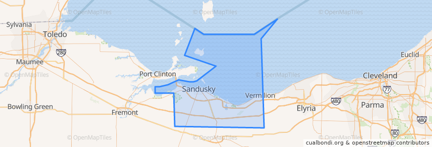
Erie County
See in interactive map
Routes of public transport
Blue Line
Cedar Point & Lake Erie Railroad
Yellow Line
Places
Sandusky
(3)
Huron Township
(1)
Perkins Township
(1)
Berlin Township
(0)
Florence Township
(0)
Groton Township
(0)
Huron
(0)
Kelleys Island
(0)
Margaretta Township
(0)
Milan Township
(0)
Oxford Township
(0)
Vermilion Township
(0)
Stops
Kalahari Employee Lot
Frontier
Huron & Hancock
Warren & Monroe
Milan & Perkins
Meijer
BP Station
Cedar Point Express
Sycamore & Milan
Mall (Behind Best Buy)
250/ Bogart
-82.68580630000001, 41.481835200000006
Sandusky Plaza
Sandusky Fireworks Store
Huron & Monroe
Milan & Perkins
Crossings
Walmart
Cedar Point Drive & River Road
Warren & Scott
Warren & Scott
Hotel Across From Fireworks Store
Milan & Bogart
Taco Bell
Milan & Sycamore
Huron & Hancock
Milan & Dewitt
Mall (Behind Best Buy)
First & Cedar Point Drive
Columbus and Water
Points of interest
Sycamore Elementary School
Famous Dave's
Barry Bagels
Sonic
Dianna's Deli & Restaurant
Cancer Services
Coral Dining Room
Auntie Annie's
Engine House Custard
Firenza Pizza
Subway
Outback Steakhouse
Rapid Fired Pizza
Fazoli's
Tomo Hibachi
Ten Fifty Eight Event Center
Erie County Law Library
Perkins Family Restaurant
Joe Muggs Coffee
Melt Bar and Grilled
Jimmy John's
Small City Taphouse
Monroe Elementary School
Castalia
Groton Township
Palace Theatre
Iron Dragon Midway
Gristmill Refreshments
Burger Patio
Mr. Hero