Anmelden
Star-Benutzer
Umfrage
Startseite
>
Vereinigte Staaten von Amerika
>
Ohio
>
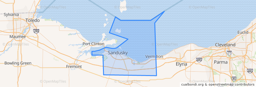
Erie County
Erie County
Siehe in der interaktiven Karte
Routen des öffentlichen Verkehrs
Blue Line
Cedar Point & Lake Erie Railroad
Yellow Line
Orte
Sandusky
(3)
Huron Township
(1)
Perkins Township
(1)
Berlin Township
(0)
Florence Township
(0)
Groton Township
(0)
Huron
(0)
Kelleys Island
(0)
Margaretta Township
(0)
Milan Township
(0)
Oxford Township
(0)
Vermilion Township
(0)
Haltestellen
Sycamore & Milan
First & Cedar Point Drive
Milan & Sycamore
Crossings
Warren & Scott
Mall (Behind Best Buy)
Warren & Scott
Warren & Monroe
Taco Bell
Sandusky Plaza
Frontier
Mall (Behind Best Buy)
Milan & Dewitt
Walmart
Cedar Point Drive & River Road
Kalahari Employee Lot
Huron & Monroe
250/ Bogart
Huron & Hancock
Milan & Dewitt
BP Station
Washington & Wayne
Jackson & Washington
Huron & Hancock
Sandusky Plaza
Cedar Point Express
Sandusky Fireworks Store
-82.68580630000001, 41.481835200000006
Columbus and Water
Hotel Across From Fireworks Store
Sehenswürdigkeiten
Car Wash
Sandusky Alliance Church
Barry Bagels
Firelands Regional Medical Centers
Speedway
Hot Dog Tony's Restaurant and Bar
Sycamore Elementary School
Subway
Mr. Hero
Vermilion Township
Jet Express
Culver's
Outback Steakhouse
Dianna's Deli & Restaurant
Super-Fast Car Wash
Buffalo Wild Wings
Chet & Matt’s Pizza
Second Baptist Church
Kelleys Island
Milan
Sandusky City Hall
Church of Christ
Pizza Patio
Sonic
Vine & Olive
Tomo Hibachi
Berlin Township
Jimmy John's
Perkins Township
Red Garter Saloon